Antiques
Cameras & Photo
Clothing, Shoes & Accessories
Coins & Paper Money
Categories
Collectibles
Consumer Electronics
Crafts
Dolls & Bears
Entertainment Memorabilia
Health & Beauty
Home & Garden
Jewelry & Watches
Musical Instruments & Gear
Pottery & Glass
Sporting Goods
Toys & Hobbies
eBay Motors
0
0 items
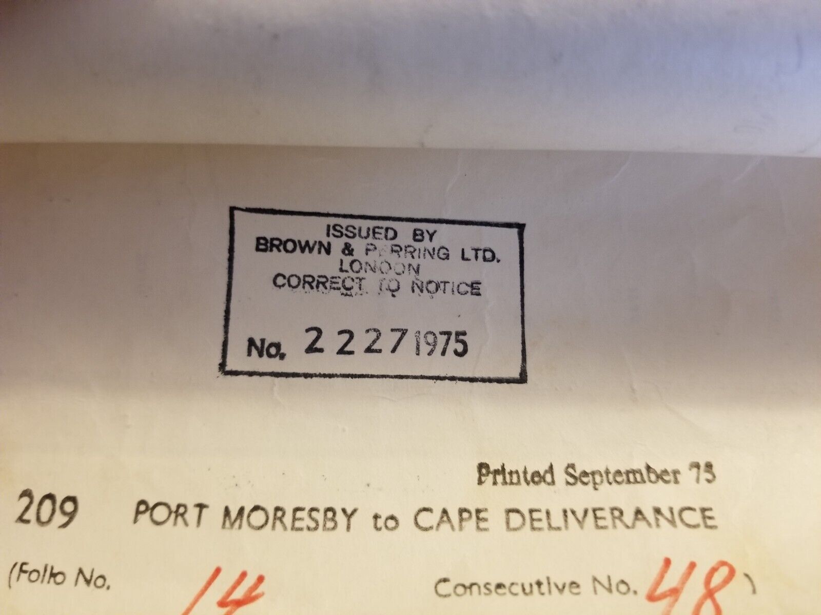
Vintage 41 x 28 Nautical Map Port Moresly to Cape Deliverance 1970s
Home
Antiques
Maritime
Maritime Navigational Charts
-40%
Vintage 41 x 28 Nautical Map Port Moresly to Cape Deliverance 1970s
$ 21.12
$ 12.67
Availability:
81 in stock
Maker:
Browm andPerry
Original/Reproduction:
Vintage Original
Country/Region of Origin:
United States
Military Branch:
US Navy
See Details On eBay
Description
Size Guide
Description
Vintage Heavy Paper Nautical Map In good condition as shown. Ships rolled in tube.
Related products
Sale
US Coast and Geodetic Maritime Survey 1955 Chesapeake Bay Entrance Chart
$ 21.95
$ 13.17
See Details
Sale
Canadian Nautical Chart 1963 Cape Hurd to Gull Island Tobermory Georgian Bay
$ 21.95
$ 13.17
See Details
Sale
US Coast and Geodetic Maritime Survey 1955 Chart Chesapeake Bay Smith Point
$ 21.95
$ 13.17
See Details
Sale
Nautical Chart Florida 1964 St. Lucie Inlet to Ft Myers + Lake Okeechobee
$ 21.95
$ 13.17
See Details
Sale
Vintage 28 x 44 Nautical Map Suisun Bay West Coast USA 1980s
$ 21.12
$ 12.67
See Details
Sale
Vintage Map US Coast Survey 1859 Seguin Island to Kennebunkport Maine Large Map
$ 88
$ 52.8
See Details
Sale
Nautical Chart Florida 1963 Chatham River to Clam Pass Florida
$ 21.95
$ 13.17
See Details
Sale
Old 1855 M. F. MAURY Hydrography Map / Chart ~ GEOGRAPHICAL AGENCY of the WINDS
$ 17.6
$ 10.56
See Details
You've just added this product to the cart:
View Cart
Continue
Antiques
Cameras & Photo
Clothing, Shoes & Accessories
Coins & Paper Money
Categories
Collectibles
Consumer Electronics
Crafts
Dolls & Bears
Entertainment Memorabilia
Health & Beauty
Home & Garden
Jewelry & Watches
Musical Instruments & Gear
Pottery & Glass
Sporting Goods
Toys & Hobbies
eBay Motors