-40%
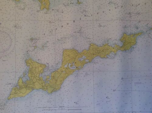
Vintage Nautical Chart Fishers Island Sound 1974 Large Map 33 x 42 EUC NOAA
$ 30.36
- Description
- Size Guide
Description
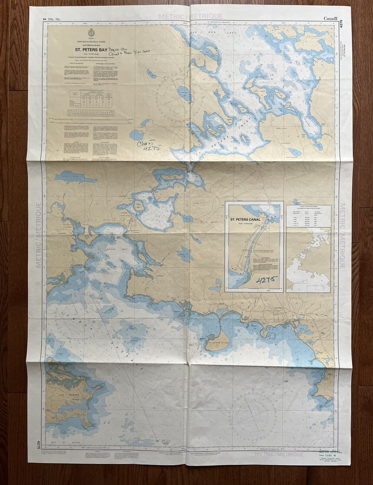
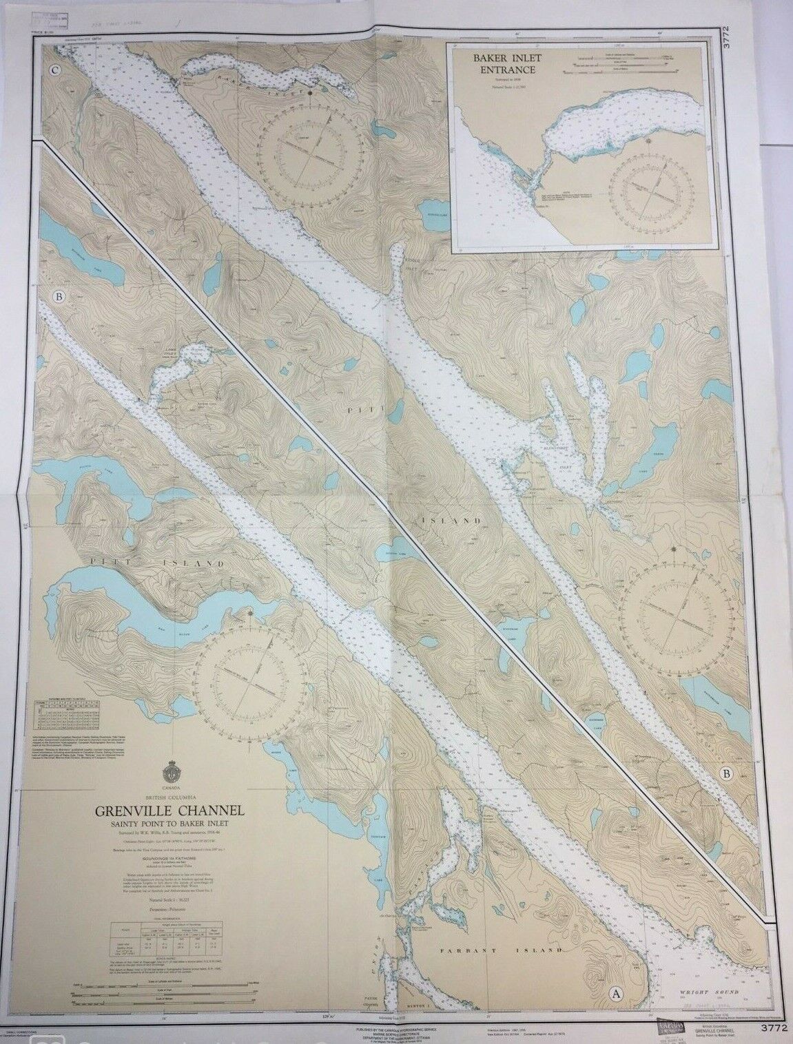
Wonderful uncommon vintage nautical chart from Fishers Island Sound between coastal Connecticut/Rhode Island and the north shore of Long Island. The island itself is prominently depicted as are numerous towns and landmarks of the region.Dated October 5, 1974 it measures 33 5/8" x 42". Used but in very good condition. Some mild spotting/toning in places and some minor tearing along the edges but generally quite nice and will frame up beautifully.
I will pack carefully and ship it rolled, as found. Check photos and ask any questions. Thanks!


